Last week, Rolande and I took a trip along the Icefields Parkway, a scenic route from Lake Louise to Jasper, Alberta. It’s a mountain road, best known for the Columbia Icefields and the glaciers that flow from it, many visible from the highway.
The Columbia Icefield is the largest ice field in the Rocky Mountains. It’s located in the Canadian Rockies astride the Continental Divide, along the border of British Columbia and Alberta. The ice field lies partly in the northwestern tip of Banff National Park and partly in the southern end of Jasper National Park.
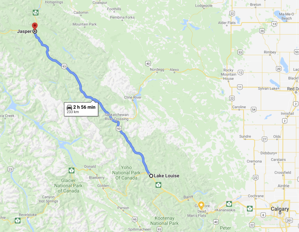
In addition to the icefield and glaciers, there are many other attractions including some of the highest peaks in the Canadian Rockies, striking turquoise lakes, gaping canyons, abundant wildlife and at this time of the year particularly, flowing water everywhere.
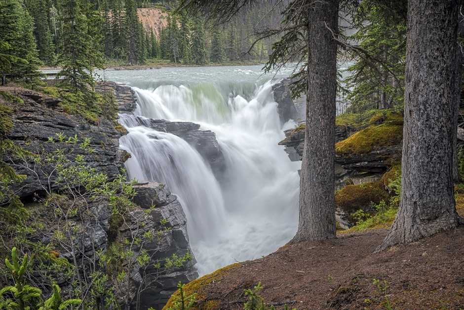
I begin today’s photographs with this view of Athabasca Falls, one of many, easily accessed waterfalls along the route.
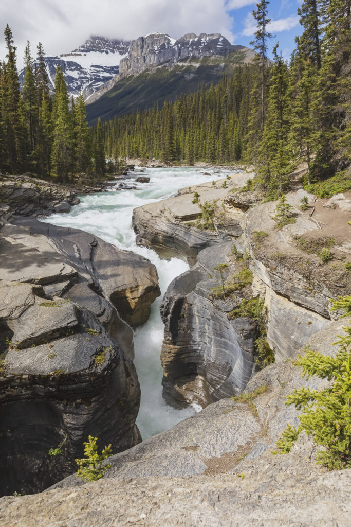
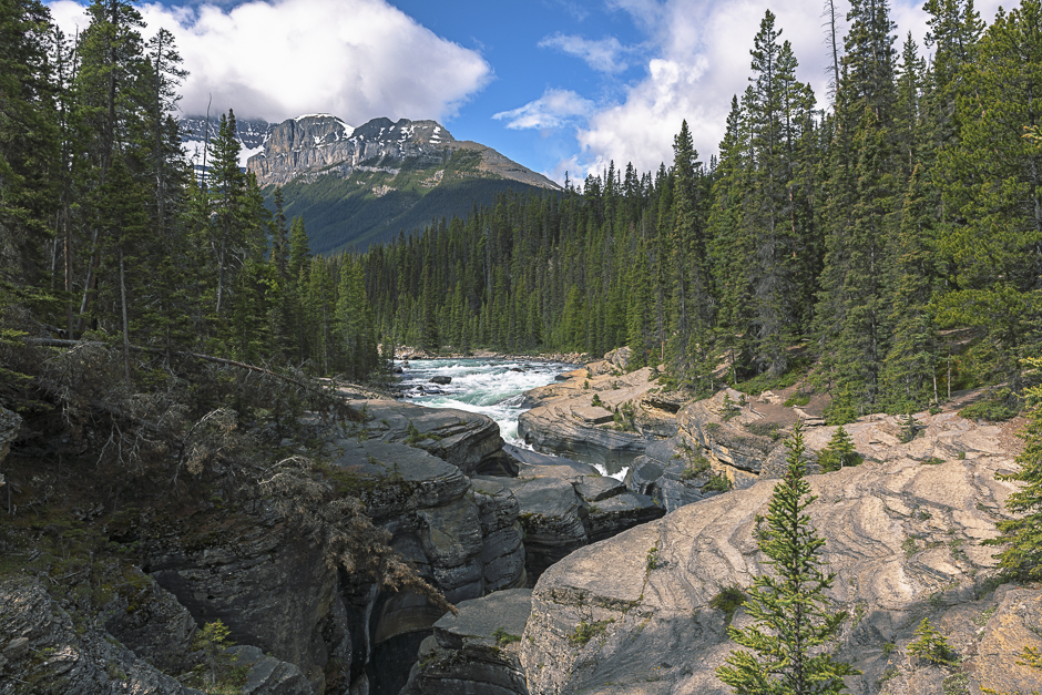
This scene features Mistaya Canyon with Mount Sarbach in the background. I took this picture at the point where the Mistaya River plunges into the narrow entry of the canyon.
This view of Mistaya Canyon was taken further back, from the pedestrian bridge crossing the gorge. As you can see, the canyon is very narrow. What you can’t see is that it is very deep. I couldn’t determine the depth nor could I even hazard a guess. I was unable to see the bottom from the bridge due to variations in the canyon’s width but I could hear the water, a long way down. I hope to explore this area a little more, further downstream. That may allow me to answer the nagging question of its depth.
Of course, a blog about the Icefield Parkways must include some glacier scenes. This particular photograph features the Giant’s Gate glacier on the north flank of Mount Athabasca (elevation 3,493 m, 11,452 ft). It’s a breathtaking sight as it first comes into view rounding this corner.
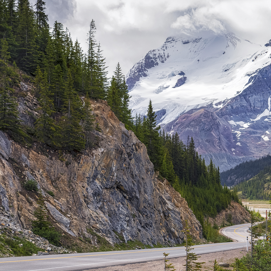
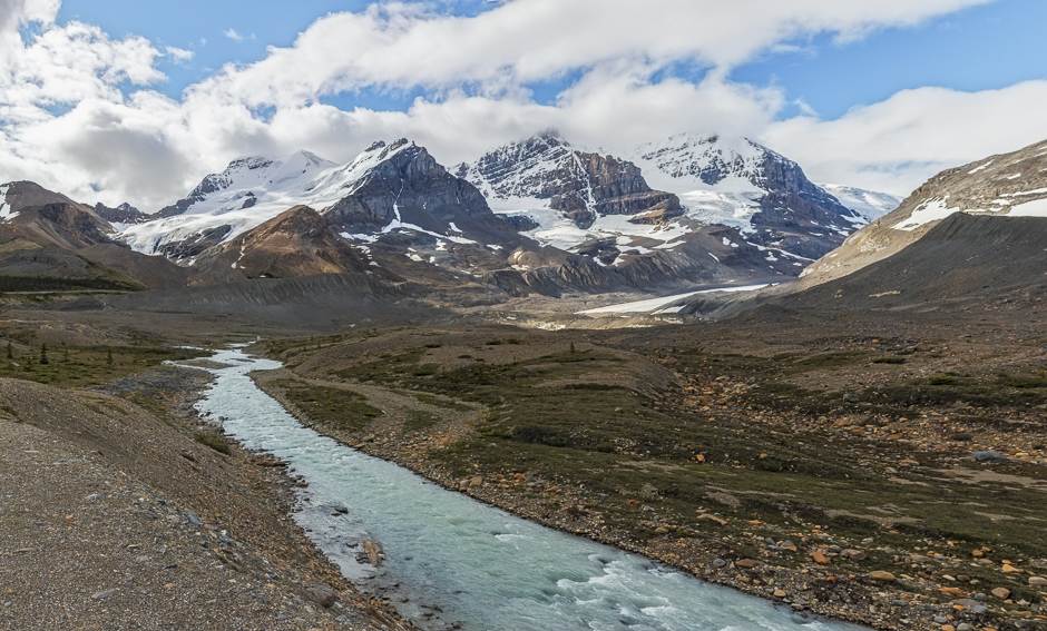
The next photograph, also showing Mount Athabasca would appear to have been taken from much further back. Not so, it was actually taken from ~5.5 km (3.5 miles) while the previous picture was shot at a distance of ~10 km (6 miles).
Both were taken with the same lens, a 24-70 mm zoom using different focal lengths. The above picture (Mt Athabasca) was taken at a focal length of 70 mm and cropped, narrowing the field of view and increasing magnification. The photograph below is a panorama comprised of three images stitched together. Each constituent image was shot at a much wider angle (30 mm focal length) and in portrait orientation. This results in a much wider view with greater depth, necessary to incorporate the entire vista, including the stream of meltwater in the foreground. At 5.5 km, I was pretty close for a such an inclusive scene.
These photographs were taken in our travels to and from Jasper. In my next blog I’ll share my thoughts and pictures from the area around Jasper.
